GIS Day 2026
GIS Day 2026
Powering Purpose and Innovation
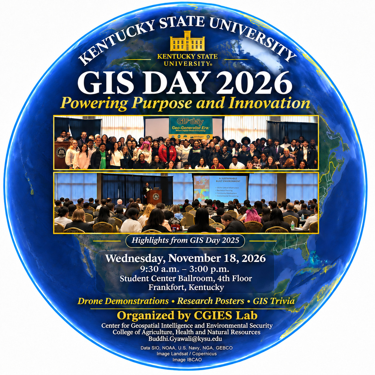 Wednesday, November 18, 2026 | 9:30 a.m.–3:00 p.m.
Student Center Ballroom, 4th Floor
Kentucky State University, Frankfort, Kentucky
Join Kentucky State University for GIS Day 2026, an annual celebration of Geographic Information Systems and the ways geospatial technology helps us understand our world. Hosted by the Center for Geospatial Intelligence and Environmental Security in the College of Agriculture, Health and Natural Resources, this year’s event explores how GIS powers purpose and innovation through research, education and career development.
About GIS Day
GIS brings maps and data together to reveal patterns, answer questions and support decisions. From agriculture and natural resources to community planning, geospatial tools help people understand how places and environments are connected. Kentucky State University has celebrated GIS Day since 2015, bringing students, educators and professionals together to explore spatial thinking and its practical applications.
Explore GIS and Geospatial Careers
The 2026 program features a keynote on emerging GIS jobs, career perspectives from mapping professionals, drone applications in research and education, and information about KSU academic programs and dual-credit opportunities. Participants can engage with student research posters, join GIS trivia sessions and attend a drone demonstration. Poster awards and a raffle will conclude the afternoon activities.
Learn More
For information about GIS and geospatial programs at Kentucky State University, contact Dr. Buddhi R. Gyawali.
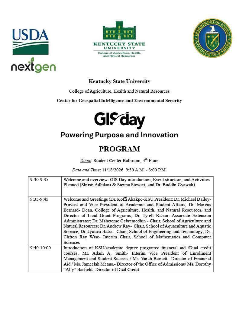
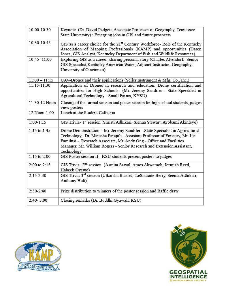
GIS Day 2026 Program
Agenda
GIS Day 2025
Held November 19, 2025, KSU’s 11th annual GIS Day welcomed more than 120 high school and college students. The event explored GIS through mapping activities, drone demonstrations, student research posters and conversations about geospatial careers. Its theme was Geo-Generalist Era: Where Spatial Meets Everything.
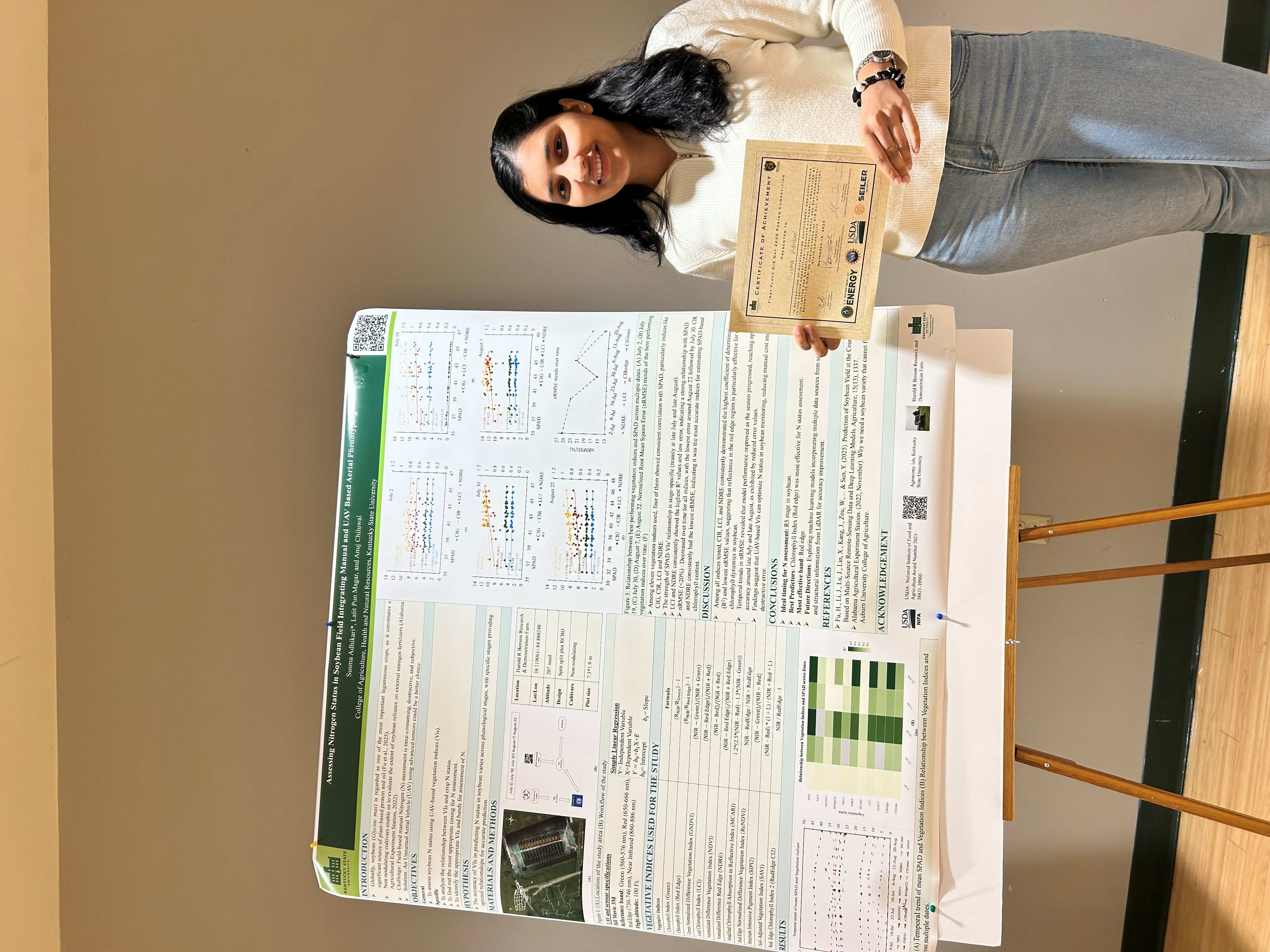
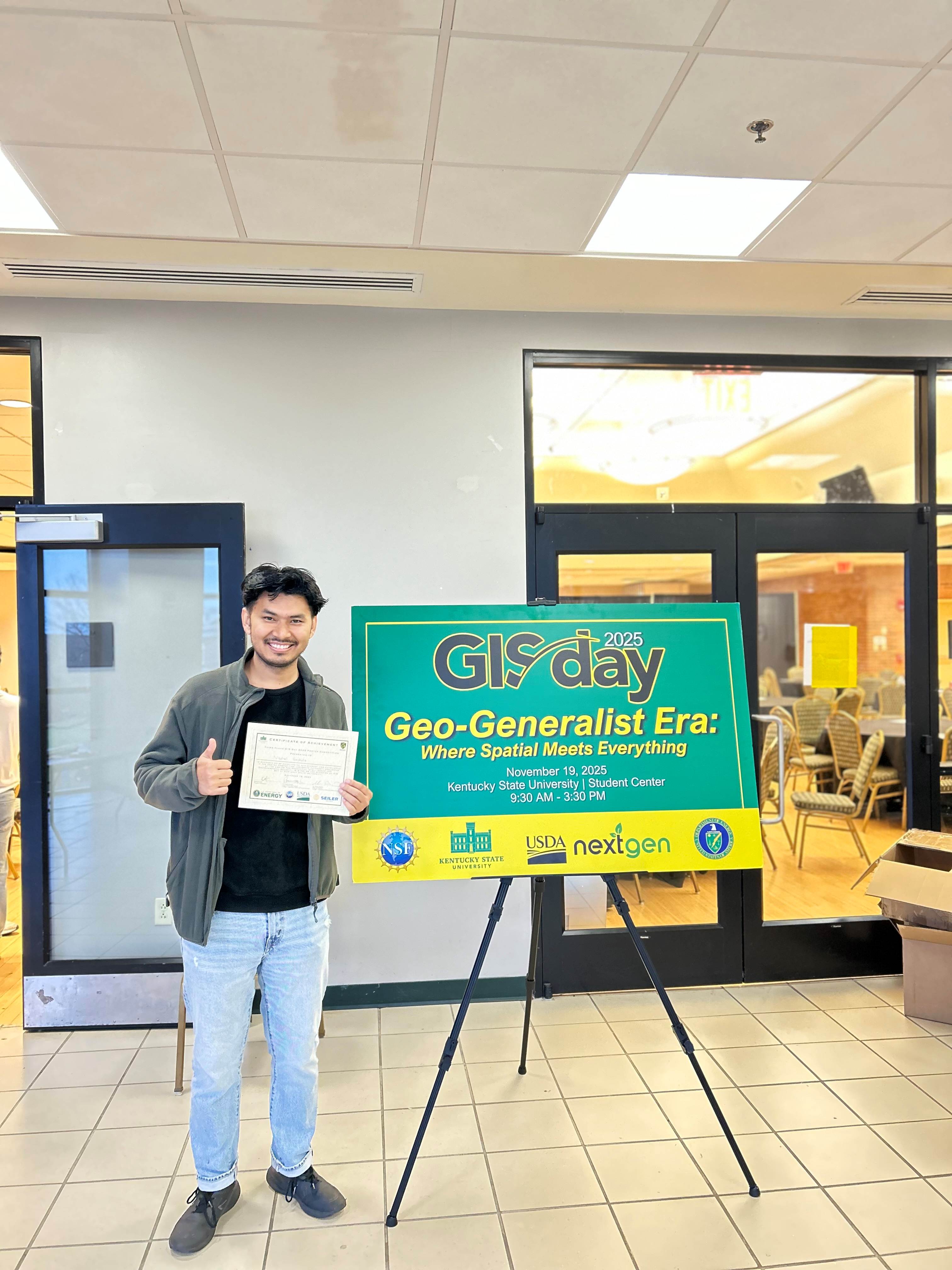
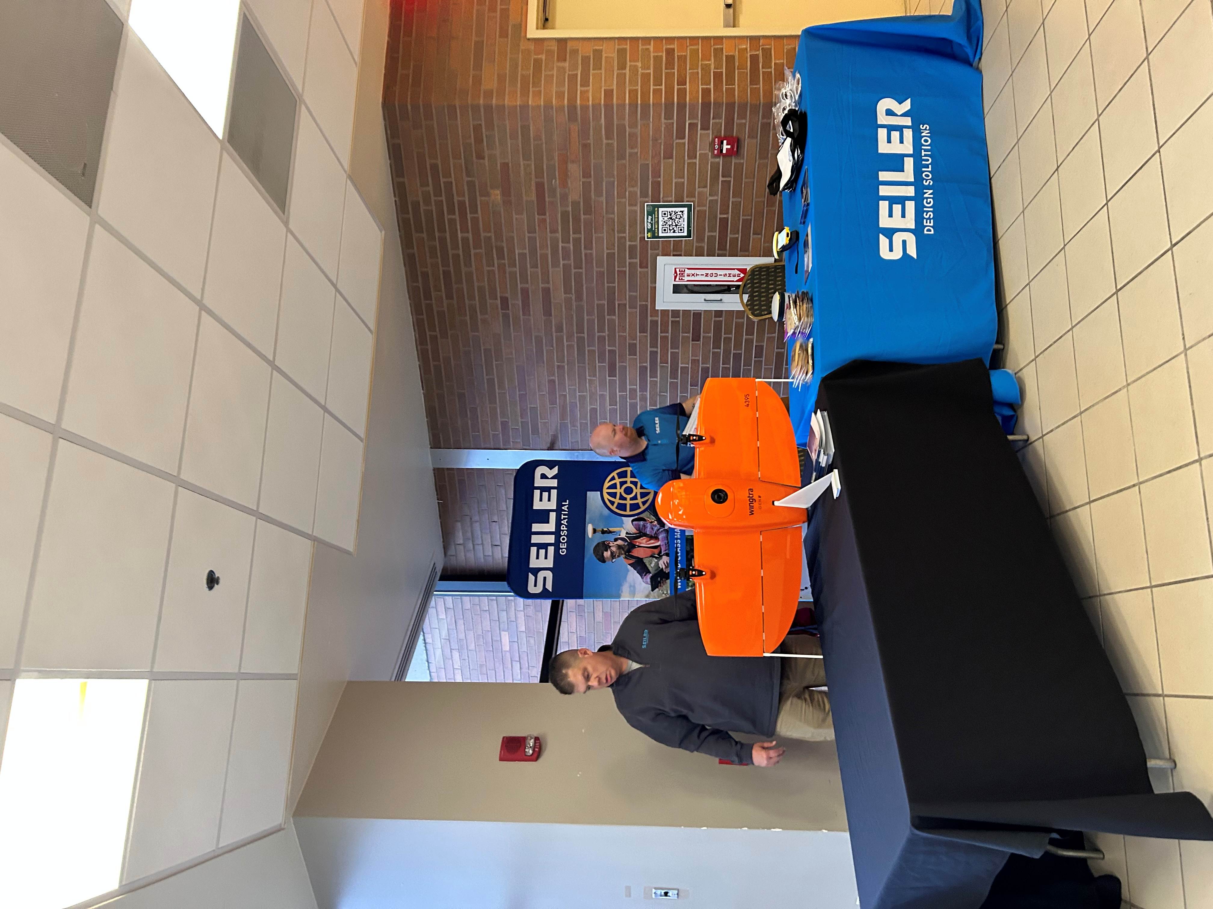
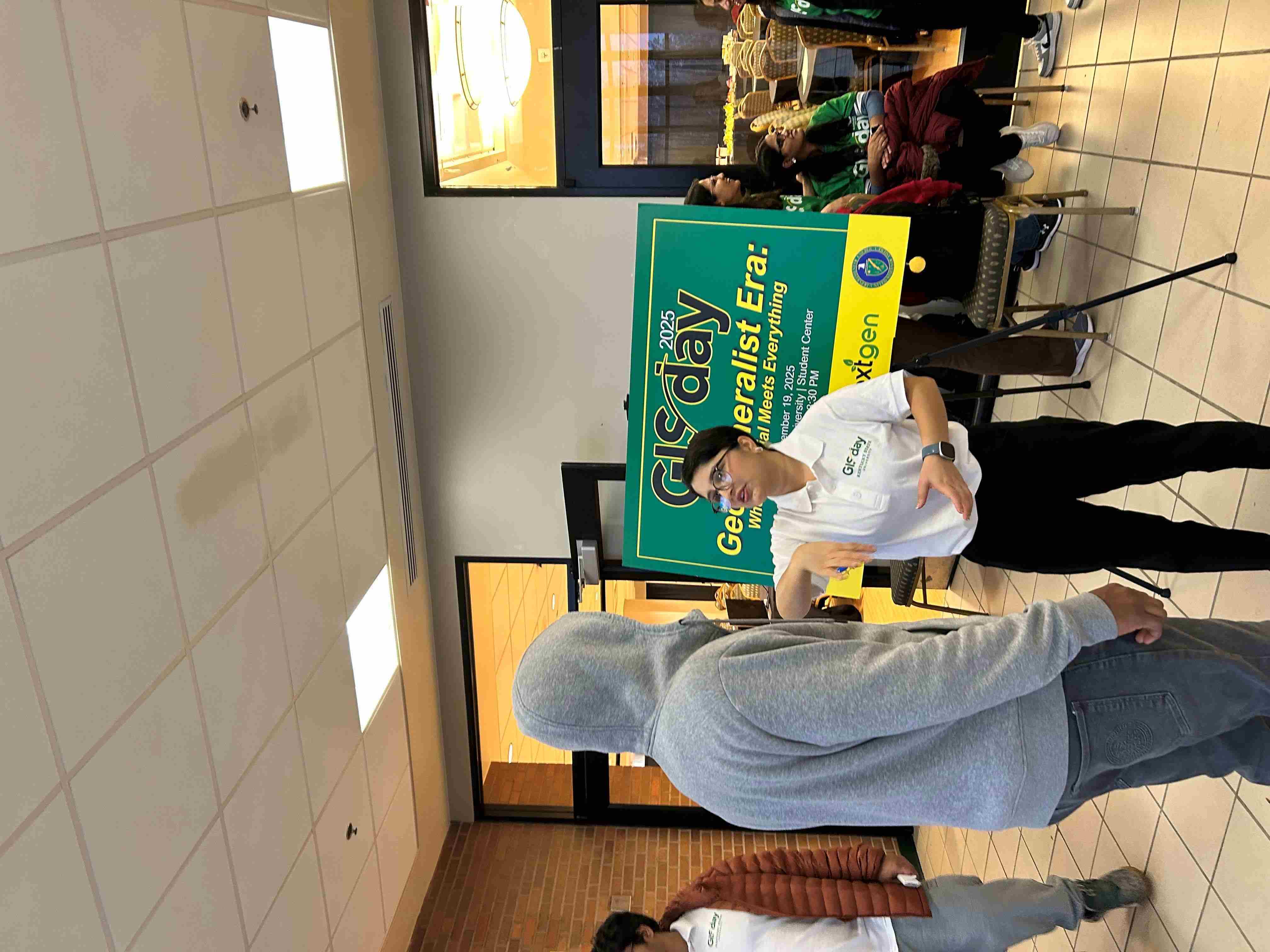
Highlights from the November 19, 2025 celebration at Kentucky State University.